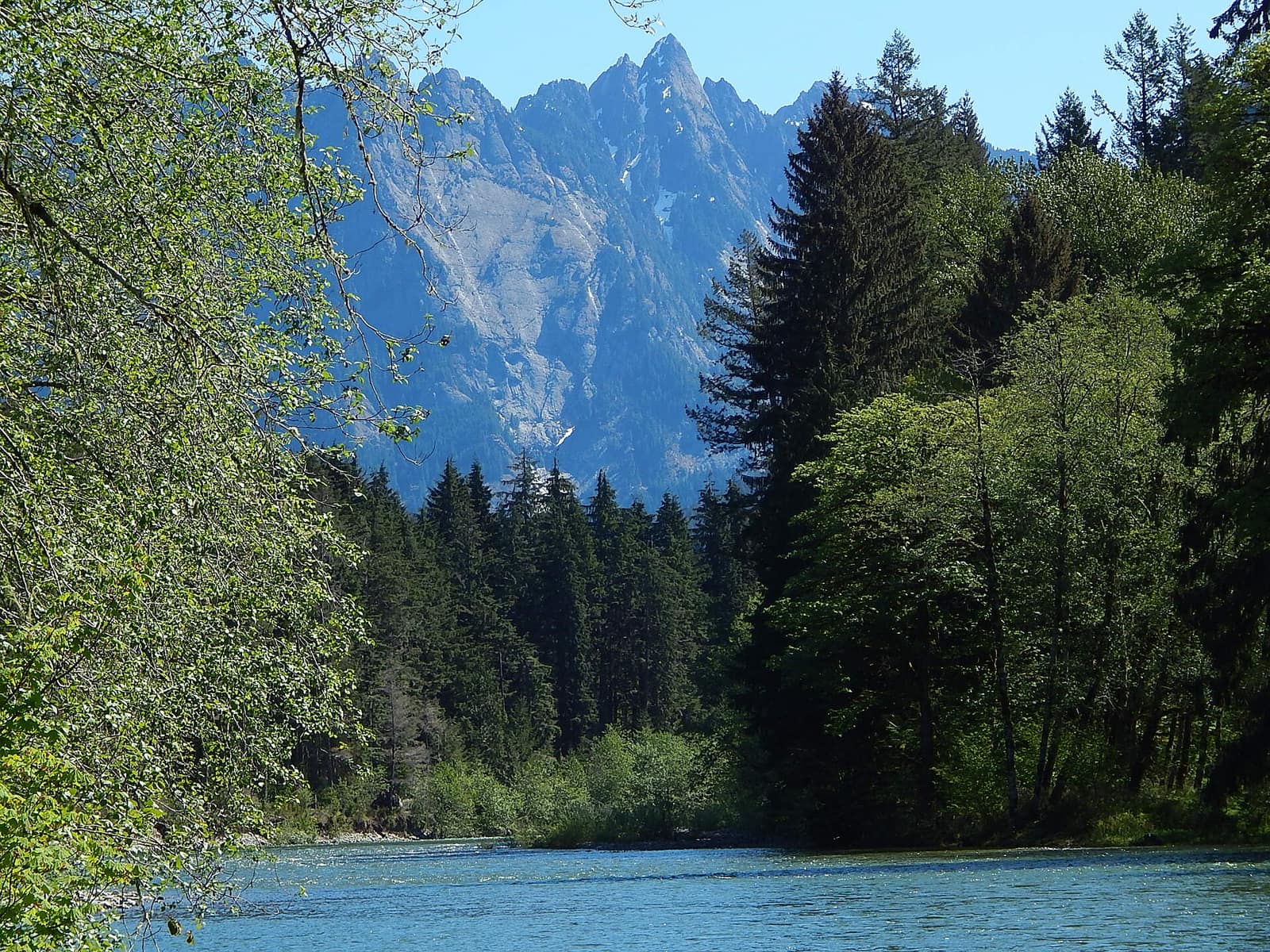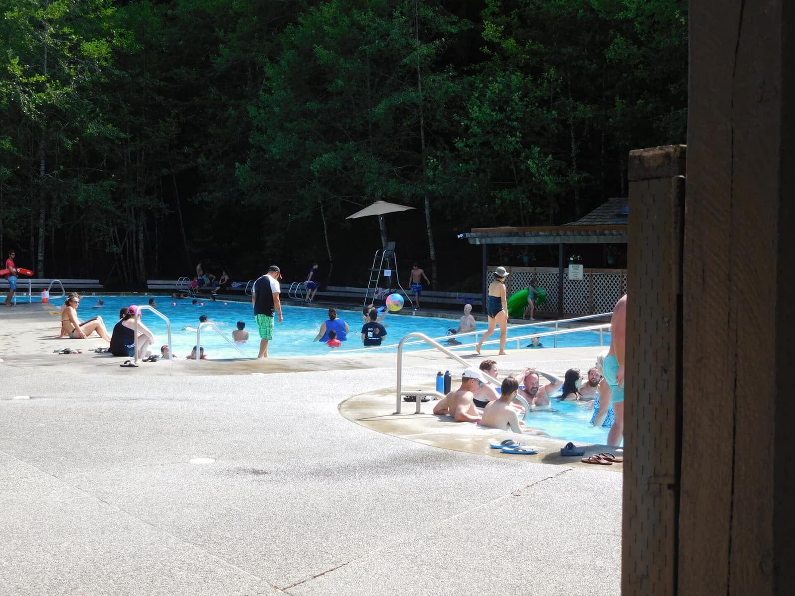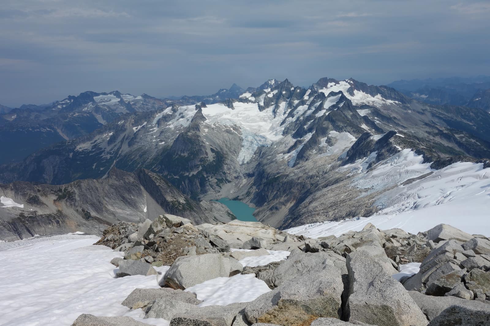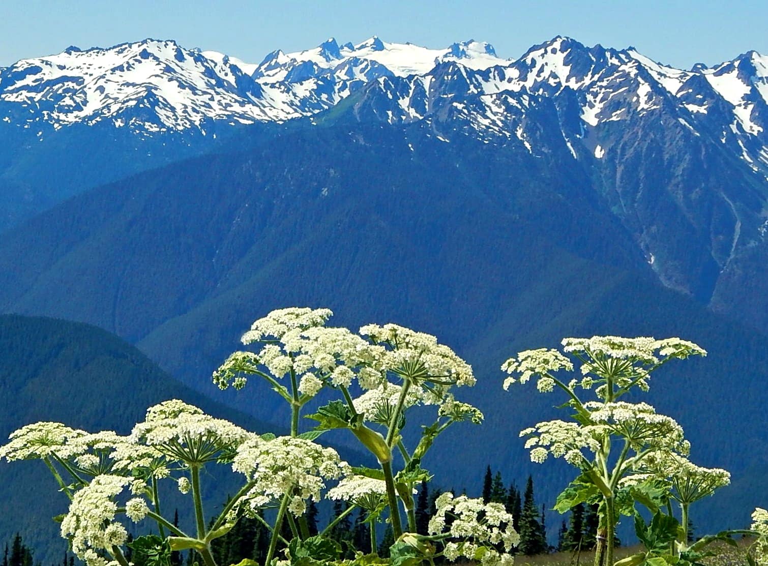
The Olympic Mountains rise from sea level to 7,980 feet in the span of roughly 50 miles, a pace so abrupt that the range generates its own weather. Western slopes pull in more than 200 inches of precipitation a year; the eastern slopes, sheltered by the same ridgelines, sit in their rain shadow and receive closer to 16 inches. That contrast shapes everything about visiting: what you pack, when you go, which trailhead you start from, and how long you plan to stay.
Washington visitors who have heard of the Olympics mostly think of temperate rainforest and the Hoh. The mountains themselves, including the glaciated summits, the high meadow traverses, and the ridge walks above treeline, get less attention than they deserve. This guide covers the full picture.
What the Olympic Mountains Are (and Why They’re Different)
The Olympics are not a linear range. They form a rough dome (sometimes called the Olympic massif) with rivers radiating outward in all directions. The Quinault, Queets, Hoh, Bogachiel, Sol Duc, Elwha, Dungeness, Skokomish, and Dosewallips rivers all originate in this central uplift and flow toward the coast or Puget Sound.
The highest peak is Mount Olympus at 7,980 feet, but the range includes nearly two dozen summits above 7,000 feet: Mount Constance (7,743 feet), Mount Deception (7,788 feet), Mount Anderson (7,321 feet), and the Needles cluster along the eastern front, among others. Unlike the Cascades, where volcanoes built the tallest summits, the Olympics were thrust upward by plate tectonic accretion, making their geology distinct from anything else in the Pacific Northwest.
About 60 glaciers still persist across the range. The Blue Glacier on Mount Olympus is the largest, but Hoh, Hubert, Humes, White, and several others remain active. All are retreating.
Mount Olympus: The Centerpiece
Mount Olympus is the dominant objective in the range for climbers. It has three summits: West Peak (7,980 feet, the true summit), Middle Peak (7,930 feet), and East Peak (7,780 feet). The standard climbing route approaches via the Hoh River Trail, which gains little elevation for its first 17 miles before the route breaks left toward the Glacier Meadows camp and then ascends the Blue Glacier to the summit snowfield.
This is not a day hike. The approach typically takes two to three days each way, and the glacier travel requires crampons, an ice axe, and rope skills. Crevasses on the Blue Glacier open significantly by late summer. Most parties hire a guide or go with experienced friends.
For those who want proximity to Mount Olympus without a climbing permit and technical gear, the Hoh River Trail to Glacier Meadows (about 17 miles one way) delivers striking glacier views from camp without setting foot on the ice. It is a long backcountry trip but does not require mountaineering equipment.
Best Hikes in the Olympic Mountains
The Olympics have hundreds of miles of trail. A few routes stand out for first-time visitors to the high country:
High Divide Loop (17 miles, 5,000 feet gain): One of the most complete mountain experiences in the park. Starting from the Sol Duc trailhead, this loop climbs past Sol Duc Falls, gains the ridge, and traverses a high route with continuous views of the Bailey Range and Mount Olympus before descending to Heart Lake and back to the valley. Plan for two to three days and a backcountry permit.
Appleton Pass Trail (15 miles round trip, 3,200 feet gain): Also starting from Sol Duc, this trail climbs to a broad alpine pass at 5,100 feet with views into the Bailey Range. More manageable than the High Divide Loop for those with a single overnight to spend.
Royal Basin Trail (15 miles round trip, 2,800 feet gain): Accessed from the Dosewallips Road on the eastern side of the park, Royal Basin leads to a glacially carved cirque beneath the craggy eastern peaks including Mount Deception and Mount Clark. Camp at the lake and explore the upper basin on a second day.
Hurricane Hill Trail (3.2 miles round trip, 700 feet gain): For visitors who cannot commit to a multi-day backcountry trip, this paved-to-dirt trail from Hurricane Ridge offers unobstructed views of the full northern face of the Olympic Mountains and, on clear days, the Strait of Juan de Fuca and the Canadian Gulf Islands. It is accessible to most fitness levels.
Obstruction Point Road and Badger Valley: From Hurricane Ridge, a narrow dirt road (passenger cars fine, no trailers) runs 8 miles east to Obstruction Point trailhead at 6,150 feet. Day hikes from here into Badger Valley and along the Lillian Ridge put you in open alpine terrain without the mileage of the western approaches.
Hurricane Ridge: Easiest Access to the High Country
Hurricane Ridge sits at 5,242 feet and is the most accessible alpine area in the park. A paved road climbs 17 miles from Port Angeles to the visitor center, making it reachable in a standard passenger car. From the parking area, you can step directly into meadows above treeline with clear sight lines to the core of the range.
On clear days, you can see the glacier-capped summits of the Bailey Range and Mount Olympus from the paved walking paths near the visitor center. Marmots and black-tailed deer are common near the meadows.
If you have only one day and want the highest-elevation views in the park without a long drive on rough road, Hurricane Ridge is the answer. See our full breakdown in the Hurricane Ridge Visitor Center guide.
Getting to the Olympic Mountains
There is no single entry point. The park wraps around the range on all sides, and the trailheads are separated by hours of driving. Pick your entry based on which part of the mountains you want to reach:
- Port Angeles (north): Gateway to Hurricane Ridge, Deer Park, the Elwha Valley, and the Dungeness drainage. The most developed gateway town. Ferry access from Victoria, BC.
- Forks and Hoh Rainforest (west): The Hoh River corridor is the main western approach to Mount Olympus and the high backcountry. Forks has motels, gear shops, and fuel.
- Quinault (southwest): A quieter entry through Quinault Rain Forest. The road into the park on the south side closes frequently in winter.
- Dosewallips and Staircase (east): Roads on the eastern side penetrate the drier, forested drainages and are closer to Puget Sound. Dosewallips Road has a washout that forces a miles-long walk to the upper trailhead; check current conditions before planning a trip through this corridor.
From Seattle, allow 2.5 to 3 hours to reach Port Angeles (including the ferry from Kingston or driving around the Sound), or 3.5 hours to Forks by land.
When to Visit the Olympic Mountains
Snow closes most high routes from October through late June or early July, depending on the year. Hurricane Ridge’s visitor center road is typically plowed and open year-round on weekends, with varying weekday closures in winter. Call the park’s recorded road conditions line or check the NPS Olympic National Park site before driving up in winter.
For the backcountry high country, July through September is the practical window. August is the driest month and the most popular. Snow bridges over streams can collapse in August, so check trail conditions at the Wilderness Information Center in Port Angeles before setting out on long routes.
Shoulder seasons can be rewarding. Late September and early October bring reliable clear skies on the eastern and northern approaches, fewer crowds, and autumn color in the vine maple and alder along valley floors.
For more detail on seasons across the state, see the best time to visit Washington State.
Where to Stay Near the Range
Port Angeles is the most convenient base for northern approaches. Hotels, motels, and vacation rentals are plentiful. The town sits on the Strait of Juan de Fuca with views of the San Juan Islands on clear days.
Forks is sparse but functional for western approaches. It has a handful of motels and a grocery store. Lake Quinault Lodge on the southwest side of the park is a historic option with water-facing rooms and a dining room.
In-park camping: The park has numerous campgrounds at different elevation ranges. Kalaloch and Mora serve the coast; Sol Duc and Fairholme serve the northern lake and river valleys; Dosewallips and Staircase serve the eastern drainages. Backcountry permits are required for overnight trips in the wilderness zones.
For full planning help with camping in the park, see camping in Olympic National Park and things to do in Olympic National Park.
Planning Tips Before You Go
Olympic National Park charges an entrance fee ($35 per vehicle as of 2026, valid for 7 days). America the Beautiful passes cover it. Cell service is unreliable or absent at most trailheads. Download offline maps before leaving Port Angeles or Forks.
Backcountry permits are required for overnight trips and available at the Wilderness Information Center in Port Angeles or the Hoh Visitor Center. Some high-demand corridors (High Divide, Hoh River) require permits weeks in advance in summer.
Water is abundant in the range but requires filtration. Bear canisters are required in many zones; check the NPS wilderness regulations for your specific route.
If you plan to drive the full peninsula as part of your trip, the Olympic Peninsula road trip itinerary offers a framework for connecting the range with the coast and rainforest over 5 to 7 days. For trail-focused planning from the western approach, see hiking the Olympic Peninsula.
The Olympic Mountains reward planning. Pick your season, pick your corridor, and give the range more time than you think you need.
Hero photo: Mount Olympus with Cow Parsnip by Ron Clausen, licensed CC BY-SA 4.0, via Wikimedia Commons. Resized.