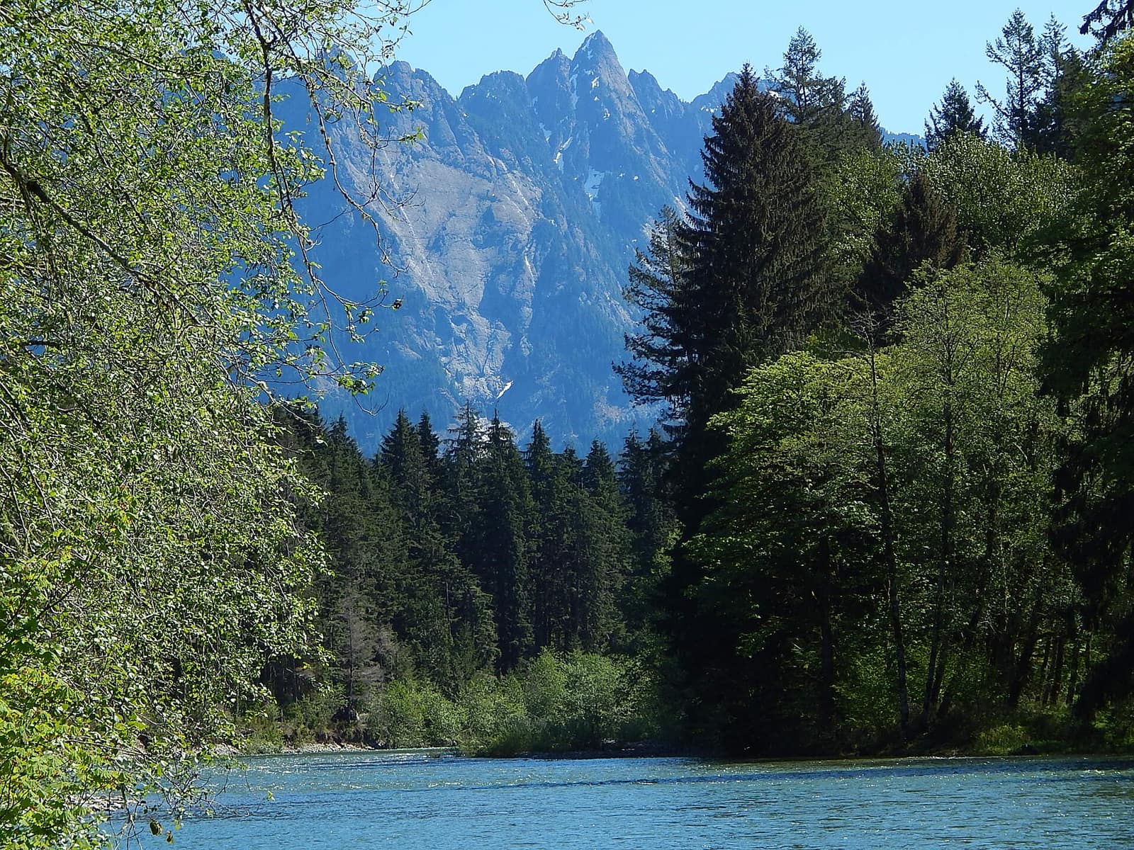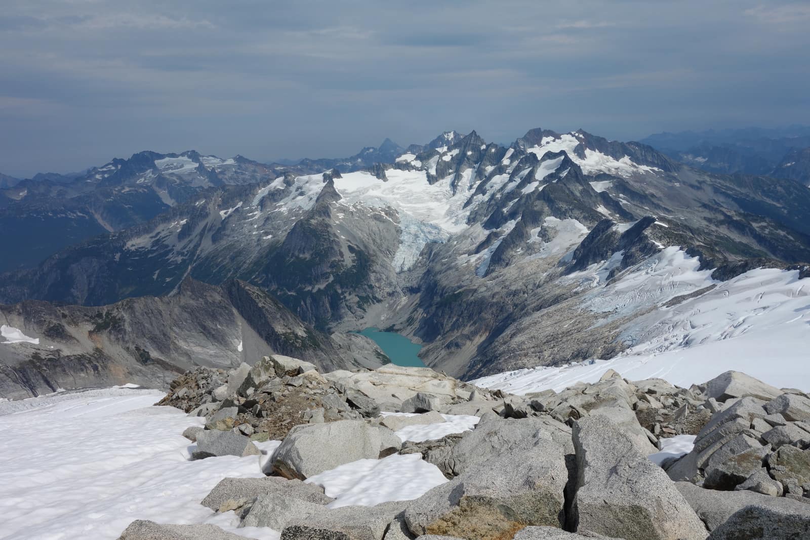
Few national parks cover as much ground in as many directions as Olympic. In a single boundary, the park holds glaciated alpine peaks, one of North America’s largest temperate rainforests, over 70 miles of wild Pacific coastline, and river valleys thick with old-growth Sitka spruce. Most parks offer one defining landscape. Olympic offers five, and none of them require more than a few hours of driving to reach from each other.
If you’re planning a trip to Washington State and you have three days or more, Olympic belongs on the list. Here’s what to do in Olympic National Park, organized by zone.
Hurricane Ridge: Alpine Views and Subalpine Meadows
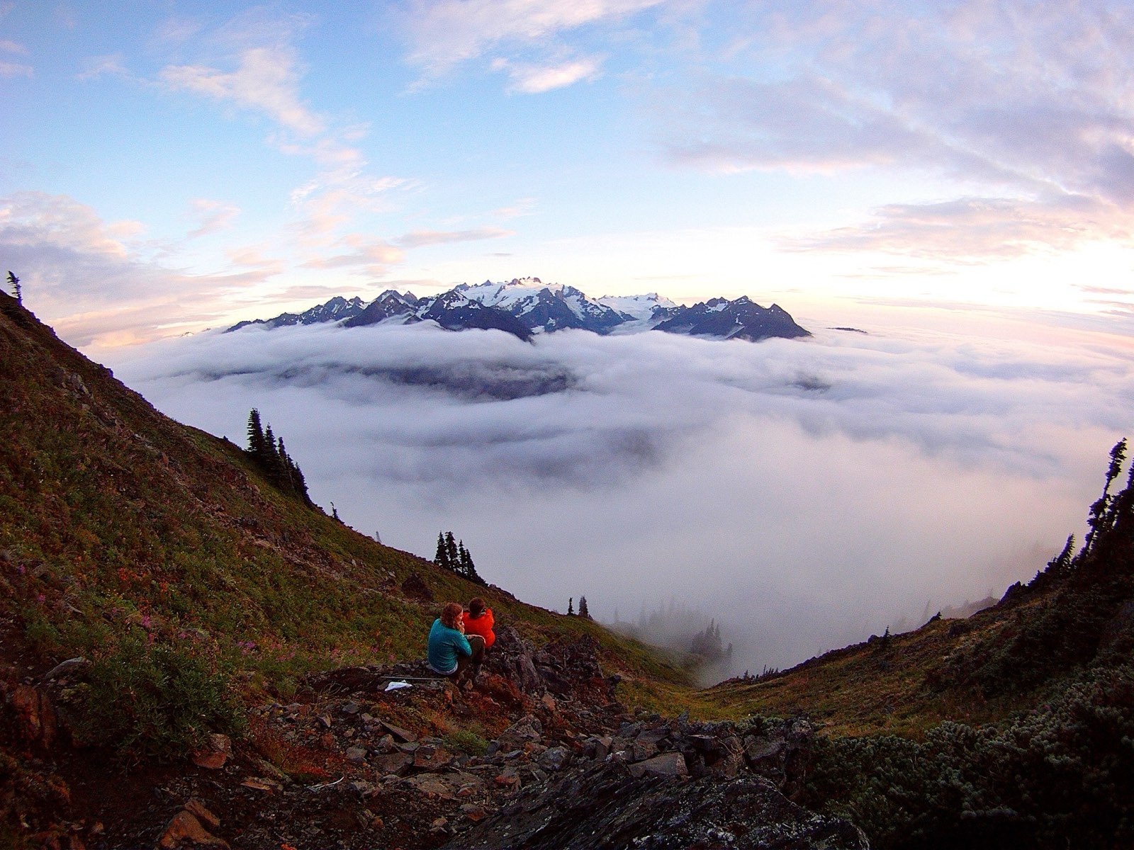
Hurricane Ridge is the park’s most visited area, and the drive there is itself worth the trip. The road from Port Angeles climbs 17 miles from sea level to 5,242 feet, passing through Douglas fir and subalpine forest before delivering you to an open ridgeline with the Olympic Mountains spread across the south and the Strait of Juan de Fuca visible to the north on clear days.
From the parking lot at the Hurricane Ridge Visitor Center, three options fit most visitors. The paved half-mile walk to the Cirque Rim viewpoint is short enough for any party and gives you the ridge panorama without significant elevation gain. The 3.2-mile Hurricane Hill Trail follows the ridge west, staying above 5,000 feet the whole way, with views that extend to Mount Baker on clear days. The Sunrise Ridge Trail runs east toward Obstruction Peak, a 7.8-mile one-way route for hikers willing to arrange a car shuttle.
Wildlife concentrates here from June through September. Olympic marmots, found only on the Olympic Peninsula, whistle from the talus slopes around the meadows. Black-tailed deer graze close to the parking area most mornings without much concern for the people nearby. Subalpine wildflowers peak in late July through mid-August, covering the slopes in paintbrush, lupine, and avalanche lily.
The visitor center is open daily from late June through early September, and on weekends through the shoulder seasons. The road closes for winter and reopens in late spring depending on snowpack. Full details on timing, seasonal closures, and the road’s opening date are in our Hurricane Ridge visitor guide.
The Hoh Rain Forest: Where Moss Covers Everything
The Hoh Rain Forest gets 140 to 170 inches of precipitation per year. That’s enough to drape the bigleaf maple limbs in hanging club moss so thick the trees look like they’re wearing coats, and to push Sitka spruce past 300 feet. The light through the canopy is permanently filtered to something between gray and green.
Two trails leave from the Hoh Visitor Center. The Hall of Mosses Trail runs 0.8 miles through the heaviest moss growth in the forest and stays flat the whole way. It’s the one that will make your jaw drop. The Hoh River Trail runs 17.4 miles into the park’s interior to the base of Mount Olympus. Day hikers typically go 2 to 4 miles in and turn around at the first river braids, which is enough to feel the scale of the place.
Upper Hoh Road runs 19 miles east off US-101 to the visitor center. The parking lot fills before 9am on summer weekends. Plan to arrive early or after 4pm to avoid the worst of it. Crowds are considerably lighter here than at Hurricane Ridge, even in summer.
If you want to go deeper into the Hoh, including the permit process for backcountry camping, the Hoh Rain Forest hiking guide covers trail conditions, wildlife, and gear.
The Pacific Coast: Driftwood, Sea Stacks, and No Cell Service
Olympic’s coastal strip is among the wildest stretches of Pacific shoreline in the lower 48. The park protects the coast in two main sections: the northern strip around Rialto Beach and La Push, and the southern section centered on Kalaloch.
Rialto Beach sits north of the small Quileute tribal community of La Push, about a 30-minute drive from Forks. The beach is wide and dark-sanded, backed by a wall of driftwood logs that pile up after winter storms. Walk a mile north along the shore and you reach Hole-in-the-Wall, a rock arch the ocean carved through a headland. You can walk through at low tide. Tide tables matter on this coast; some headlands are only passable in a window of a few hours.
Second Beach and Third Beach, south of La Push, require short trail approaches through forest but reward the walk with coves that feel genuinely remote. Third Beach is 2.8 miles round-trip and sees a fraction of the visitors that Rialto gets.
Ruby Beach, on US-101 about 45 minutes south of Forks, sits near the northern edge of the Kalaloch section. The sand here has a rusty cast from the sea stacks and rocky outcrops. Substantial driftwood logs line the tree fringe. Almost no hiking is required to reach it, and the photographic possibilities from the road-end pullout are immediate.
Kalaloch (say “clay-lock”) anchors the southern coastal section. Kalaloch Lodge and Campground sit directly above the bluff. The lodge books out months ahead for summer weekends; check availability well before your trip. The numbered beach trails (Beach 1 through Beach 4) fan out from the lodge and Kalaloch Road, each a short descent to a different stretch of shoreline.
Cell service is unavailable across most of the park’s coastal section. Download offline maps from CalTopo or Gaia GPS before you leave Port Angeles.
Sol Duc Hot Springs: Soak and Hike in the Same Afternoon
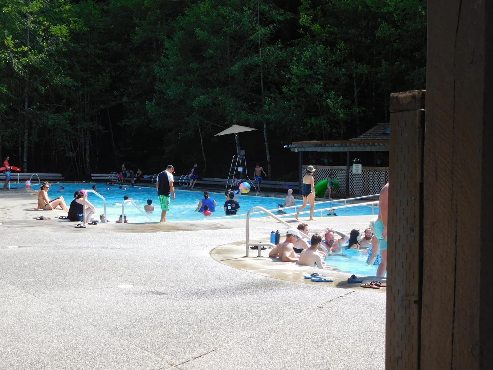
The Sol Duc Valley sits in the park’s western section, about 40 miles west of Port Angeles. The main draw is Sol Duc Hot Springs Resort, which operates thermal mineral pools from mid-March through October.
Three hot spring pools range from 99 to 104 degrees Fahrenheit, with a freshwater pool for cooling down. Non-guests can pay a day-use fee to use the pools. The setting is tall firs and complete quiet, and the mineral water is the real thing rather than a municipal pool. It’s worth the stop on a cool or overcast day, which describes most days on the western side of the peninsula.
Sol Duc Falls is a 1.6-mile round-trip walk from the resort’s trailhead. The falls drop into a narrow basalt canyon box and the spray reaches the viewpoint. Pairing the hot springs with this trail fills a satisfying afternoon.
Our Sol Duc Hot Springs guide covers pool fees, the surrounding trail network, and where to stay nearby.
Lake Crescent: Cold Water and Forested Ridges
Lake Crescent occupies the northeastern corner of the park along US-101, between Port Angeles and Forks. The lake is glacier-carved, 624 feet deep, and cold year-round. Its clarity is striking: you can see the bottom in the shallows on calm mornings.
The Storm King Ranger Station on the south shore serves as the trailhead for two hikes. The Marymere Falls Trail runs 1.8 miles round-trip through old-growth hemlock and fir to a 90-foot waterfall. The Mount Storm King Trail branches off Marymere at about 0.8 miles and climbs steeply to a ridgeline viewpoint above the lake. The upper portion uses fixed ropes and the National Park Service asks hikers to stop at the ropes rather than scrambling above them; the roped section ends at a viewpoint that is striking enough on its own.
Lake Crescent Lodge, on the south shore, rents rowboats and kayaks through the summer. The lodge restaurant is open to non-guests for dinner, which makes for a reasonable stopping point on the drive between Port Angeles and Forks.
Wildlife in Olympic: What to Watch For
Olympic’s range of habitats means wildlife is distributed across very different terrain.
Olympic elk (a subspecies of Roosevelt elk found only on the peninsula) are the park’s most iconic large mammal. The Hoh Valley and Quinault Valley both host large herds that move between the forest and open floodplain. Early mornings in the Hoh are the most reliable time to spot them in the open.
Elk rut runs from September through early October. The bugling that carries through a river valley at dawn in September is one of those field experiences that sticks with you.
Black bears are present throughout the park, concentrated in areas with berry growth and near river corridors. Keep food stored in provided bear boxes when camping. Bears in Olympic are generally uninterested in hikers but give any bear you see at least 100 yards.
Marine life along the coast includes gray whales during spring migration (March through May) and orcas that pass the Strait of Juan de Fuca intermittently. Cape Flattery, at the peninsula’s northwest tip on Makah Tribal lands, is one of Washington’s best shore-based whale-watching points.
Olympic marmots, visible at Hurricane Ridge and other high meadow areas, are one of the few species found nowhere outside the Olympic Peninsula. They hibernate from September through May and are conspicuous and photogenic through the summer.
Planning Your Visit
Entry fee: $35 per vehicle, or included with the America the Beautiful annual pass. The pass pays for itself on a park-heavy trip through Washington.
Getting in: Olympic has more than a dozen entry points. Port Angeles is the main gateway for Hurricane Ridge, Lake Crescent, and the northern part of the park. Forks is the hub for the Hoh, La Push beaches, and Sol Duc. There is no paved road through the park’s interior, which means every ecosystem requires driving out to US-101 and back around.
Driving time: From Seattle, Port Angeles is about 2.5 hours via US-101 through Olympia and Hood Canal, or about 1.5 hours if you take the Bainbridge Island or Kingston ferry across Puget Sound.
Campground reservations: Kalaloch, Mora, and Sol Duc campgrounds require reservations from mid-May through Labor Day. Book on Recreation.gov two to three months in advance. First-come, first-served sites at Heart o’ the Hills (near Hurricane Ridge) and Hoh are available but fill fast.
Best time to visit: Late June through early September gives you the most reliable access. The Hurricane Ridge road typically opens to daily traffic by mid to late June. September is worth considering: crowds thin after Labor Day, the subalpine zone shows early fall color, and elk rut begins. The Hoh and the coast are accessible year-round but wet from October through April.
Our Olympic Peninsula road trip itinerary maps a logical sequence for visiting the park’s main zones over seven days. For current visitor center hours, fee waivers, and park news, the Olympic National Park visitor centers guide has practical planning details. You can also browse lodging, trails, and attractions on the Olympic National Park page.
For overnight stays inside the park, our guide to camping in Olympic National Park covers every campground zone with reservation info and what to expect.