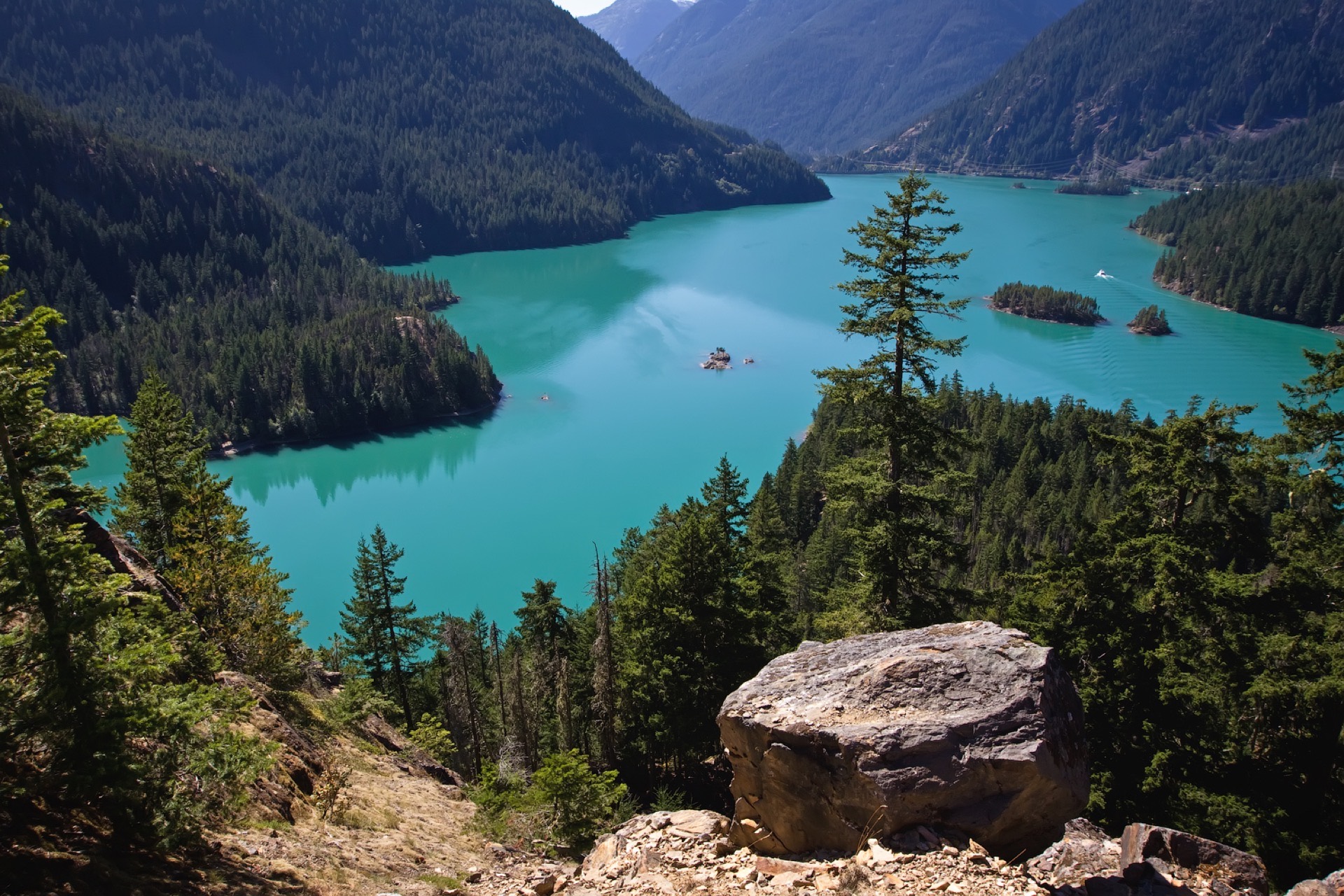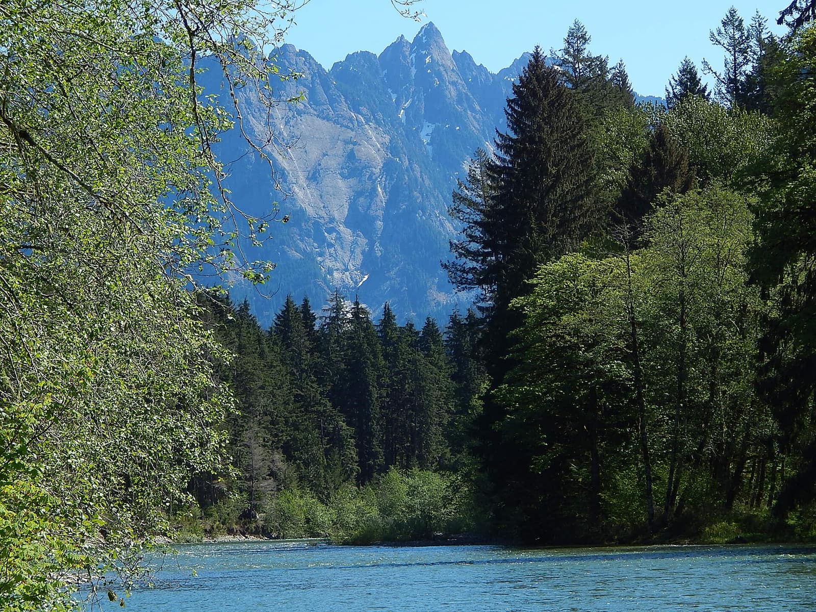
The Olympic Peninsula holds three ecosystems within a single national park boundary: glacier-capped peaks, old-growth temperate rain forest, and 73 miles of roadless Pacific coastline. Most first-time visitors see one corner of it and leave wishing they had more time. This itinerary covers the full loop in seven days, following US-101 from Port Angeles, west along the coast, and back north through the Hood Canal corridor.
If you’re flying in, Seattle-Tacoma International Airport puts you about two and a half hours from Port Angeles via the Washington State Ferries Bainbridge Island crossing and SR-104 north. Plan to arrive in Port Angeles the evening before Day 1 so you start fresh the next morning. For help picking your travel window, the seasonal guide to visiting Washington breaks down conditions month by month.
Before You Hit the Road
Entry fee. Olympic National Park charges $35 per vehicle (valid 7 days). Buy it in advance at recreation.gov to avoid the gate line during summer weekends.
Wilderness permits. A handful of backcountry trailheads require a free self-issued wilderness permit. Day hiking does not.
Cell service. Expect spotty to no coverage west of Port Angeles. Download offline maps on your phone before leaving town.
Gas. Fill up in Port Angeles heading west and in Forks before the coast segment. Stations thin out on the southwest corner.
Days 1–2: Port Angeles and Hurricane Ridge
Start at the Olympic National Park Visitor Center on Pioneer Memorial Highway in Port Angeles. It has the best overview of the park’s geography, and the rangers can tell you about current road conditions and trail snow levels.
From the visitor center, Hurricane Ridge Road climbs 17 miles to 5,242 feet. The views at the top take in the Bailey Range, the interior peaks, and on clear days the Strait of Juan de Fuca and southern Vancouver Island. In summer, black-tailed deer graze the alpine meadows along the road without much concern for cars. The Hurricane Hill Trail (3.2 miles round-trip from the visitor center) is the most rewarding day hike on the ridge, with 360-degree views from the summit. Shorter meadow loops start just outside the visitor center for those with less time or energy.
Give Hurricane Ridge its proper time: this isn’t a 45-minute stop. Plan at least half a day.
Back in Port Angeles, Domaine Madeleine is a well-regarded bed and breakfast with views across the strait. Budget travelers have a range of motels along East Front Street.
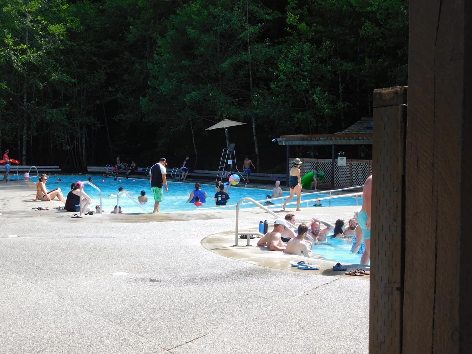
On the morning of Day 2, drive US-101 west to the Sol Duc River Road turnoff and follow it roughly 12 miles to the Sol Duc Hot Springs Resort. Day use of the mineral pools is available without a reservation. After a soak, the Sol Duc Falls Trail (1.6 miles round-trip from the resort trailhead) leads through old-growth forest to a point where the Sol Duc River splits around a basalt island and drops into a narrow canyon. The falls are most forceful in May and early June.
Day 3: Hoh Rain Forest
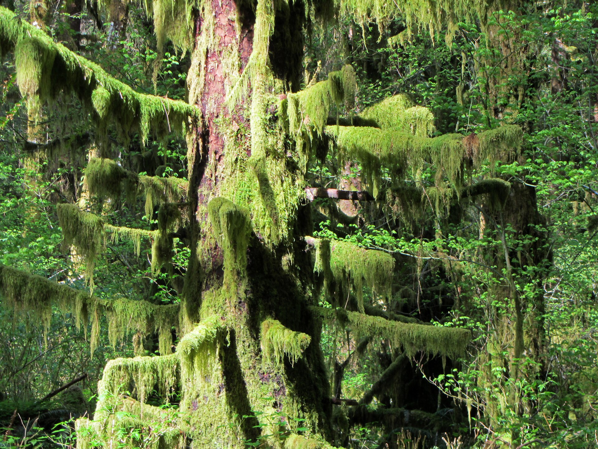
The Hoh River Valley receives 140–170 inches of rain per year. That figure accounts for what you see when you arrive: bigleaf maples holding so much moss they form their own secondary canopy beneath the Sitka spruce, Douglas fir, and western red cedar above them. It looks less like a Pacific Northwest forest and more like a greenhouse that got out of hand.
The Hoh Rain Forest Visitor Center sits at the end of Upper Hoh Road, 31 miles south of Forks. Start with the Hall of Mosses Trail (0.8-mile loop). It’s short but does exactly what the name suggests. The Hoh River Trail continues deeper into the valley for anyone who wants to extend the walk; the first few miles are flat, easy, and lined with old growth.
If you plan to camp at the Hoh Campground, reserve on recreation.gov well in advance. Spots fill months out during summer. Otherwise, Forks has motels along Forks Avenue that serve as a reasonable base for this section.
For waterfalls worth adding to your route, Marymere Falls near Lake Crescent and Sol Duc Falls (Day 2) are both within easy reach of US-101 on the northern leg.
Day 4: La Push and Rialto Beach
La Push is a small Quileute Nation community at the mouth of the Quillayute River, west of Forks on La Push Road. First Beach, directly at the village, is a dark-sand beach with offshore sea stacks and reliable Pacific surf. Rialto Beach, three miles north via a separate spur road, is wider and wilder.
From Rialto, a one-mile walk north along the gravel shoreline leads to Hole-in-the-Wall, a wave-carved arch through a basalt headland. At low tide you can walk through the opening. Check a tide chart before you leave camp: some sections of coastline become impassable at high tide and the return route gets cut off.
Food options are limited at La Push. Stock up on groceries in Forks before making the drive out.
Day 5: Lake Quinault Rain Forest Loop
Lake Quinault occupies the southwest corner of the park, surrounded by the southern rain forest section of Olympic National Park and the adjacent Olympic National Forest. The area holds several champion trees: the world’s largest known Sitka spruce stands along South Shore Road, and the surrounding forest has record-sized Douglas fir and western red cedar nearby.
Trail options from the south and north shores connect old-growth groves to the lakeshore. The North Fork Quinault Trail heads into the park’s interior; the first few miles are easy and pass through some of the densest old-growth in the region. The trailhead parking areas have maps.
Lake Quinault Lodge, a classic timber-frame building on the south shore, opened in 1926. The dining room serves a reliable dinner and the view from the lawn over the lake is worth the room rate in itself. Reservations fill fast from June through August: book well ahead. Day visitors can rent canoes and kayaks from the lodge.
Day 6: Hood Canal and Oyster Country
Heading back north and east, US-101 traces the west shore of Hood Canal, a 65-mile saltwater fjord that cuts into the center of the Kitsap and Olympic peninsulas. The drive is quieter than the coast segment, and the scenery is more pastoral than dramatic, but the Hood Canal shellfish scene is worth a stop.
Hama Hama Oysters operates a farm store and oyster bar near Eldon, on North Shore Road off US-101. The setup is simple: pick your oysters, shuck them at the picnic tables on the tideflat, eat them with a cold drink. They’re open seasonally, typically Thursday through Monday in summer. Taylor Shellfish Farms has a retail location near Shelton with oysters, clams, and geoduck available for purchase.
Shelton works as an overnight base before Port Townsend the next morning.
Day 7: Port Townsend and the Ferry Home
Port Townsend sits at the northeast tip of the Olympic Peninsula on a bluff above the water. The town’s Victorian-era commercial district on Water Street is intact in a way that few American small towns have managed: brick storefronts, ornate cornices, and a working waterfront below. The Fountain Cafe on Washington Street is a Port Townsend institution, known for straightforward seafood and chowder.
Fort Worden State Park, two miles north of downtown, was an active Coast Artillery fortification through the early Cold War era. The gun batteries are open to walk through, the grounds have direct views of Admiralty Inlet and the entrance to Puget Sound, and the former barracks now operate as a conference center and lodging. It’s a good place to spend a final morning before catching the ferry.
From the Port Townsend ferry dock, Washington State Ferries run to Coupeville on Whidbey Island in about 30 minutes. From Coupeville, drive south through the island, cross the Deception Pass Bridge, and connect to I-5. If you want to extend the trip by a night, Whidbey Island has inn options in Langley and Coupeville.
For lodging and restaurant recommendations in town, the Port Townsend city guide has current listings.
Planning Your Olympic Peninsula Road Trip
Best time to go. July and August have the most reliable weather at Hurricane Ridge and on the coast. The rain forest is worth visiting any time of year, including winter, when the canopy is quieter and the light is low and grey in a way that suits the place well. Hurricane Ridge closes periodically in winter due to snow; check current conditions at Olympic National Park’s website before any November through April visit.
How long you need. Seven days is comfortable for the full loop. Five days is workable if you cut the Hood Canal section and consolidate the rain forest and coast days. Two weeks lets you add day hikes from each base camp and slows the whole thing down in a good way.
Where to stay. The peninsula has everything from national park lodges to vacation rentals around Lake Crescent. Anything inside the park (Sol Duc, Lake Quinault Lodge, Kalaloch Lodge) fills months out in high season. Browse Washington State lodging options to compare before booking.
Getting there. Most visitors arrive from Seattle via the Bainbridge Island ferry from downtown Coleman Dock, then US-101 west. The drive around via the Tacoma Narrows Bridge also works and avoids ferry wait times in peak season.