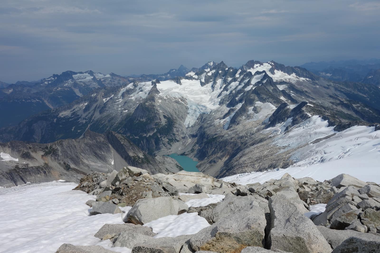
Most national parks fit on a single map spread and make sense at a glance. North Cascades doesn’t work that way. The park complex covers more than 684,000 acres across three legally distinct units, runs from sea-level forest to 9,000-foot glaciated ridges, and has exactly one paved road through it. Sections of the north cascades national park map that look like open terrain are, in practice, roadless wilderness reachable only by multi-day backpacking routes or boat. Before you plan your trip, it’s worth understanding how the park is laid out, where the access points are, and what you can and can’t reach in a single day.
Understanding the Three-Unit Park Complex
Most visitors treat North Cascades as a single park, but the federal designation is a complex of three units with different rules and management priorities.
North Cascades National Park is the core wilderness. It’s split into a North Unit (above Highway 20) and a South Unit (below it), and neither section has significant road access. The park itself is almost entirely backcountry. There is no entry fee, but overnight stays in the backcountry require a free permit from the Wilderness Information Center in Marblemount.
Ross Lake National Recreation Area is the corridor that runs along Highway 20 between the two park sections. This is where you’ll find the campgrounds, the Skagit River hydroelectric facilities, Diablo Lake, and the upper end of Ross Lake. It’s the most accessible part of the complex and where most day visitors spend their time.
Lake Chelan National Recreation Area is the remote southern tip. Stehekin sits at the head of Lake Chelan here, connected to the rest of the state only by ferry or small plane. No road reaches it from either direction.
This structure matters practically. Camping fees and availability differ across units. Backcountry permits apply in the national park itself but not necessarily in Ross Lake NRA. If you’re planning a backcountry trip, confirming which unit your intended campsite falls in determines which permit process you follow.
The North Cascades Highway: The Only Road Through
State Route 20 is the spine of any North Cascades visit. It’s the only paved road that crosses this part of the Cascades, and the entire accessible corridor for day visitors runs along it. The park section covers roughly 80 miles between Marblemount on the west and Mazama on the east.
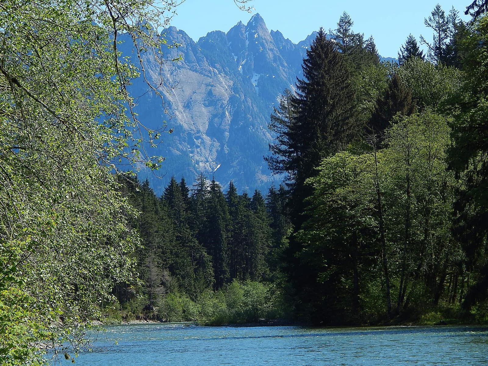
The highway climbs from river-level forest at Newhalem (elevation 500 feet) to Washington Pass at 5,477 feet before dropping into the Methow Valley. Along that stretch you’ll cross the Skagit River multiple times, pass three reservoir lakes, and get glimpses of peaks that rise sharply from the valley floor.
One critical planning note: SR-20 closes each year, usually around mid-November, and reopens in April when snowplow crews can clear the high passes. The Washington State Department of Transportation posts current road status and seasonal reopening dates at wsdot.wa.gov. If you’re planning a shoulder-season trip, check this before you drive.
For a detailed breakdown of stops, overlooks, and driving times along the route, see our North Cascades Highway guide.
West Side: Marblemount, Newhalem, and Cascade River Road
The western gateway to the park runs through a string of small towns along the Skagit River. Sedro-Woolley, about 15 miles east of Burlington, is the last place with full services: grocery stores, gas stations, pharmacies. Stock up here.
Marblemount is where the park truly starts. The Wilderness Information Center here issues backcountry permits and carries the best selection of park maps, including the free NPS map and topo maps for specific zones. Rangers here can tell you current trail conditions, snow levels, and which sites are available. If you’re heading into the backcountry, stop at Marblemount first.
Cascade River Road turns south from Highway 20 just east of Marblemount. This 23-mile unpaved road is passable by most vehicles in summer and ends at the Cascade Pass trailhead. The trailhead sits at 3,600 feet, and the trail to Cascade Pass (7.4 miles round trip) is the most popular hike in the park. The road narrows considerably in its last few miles; wide vehicles and trailers should not attempt it.
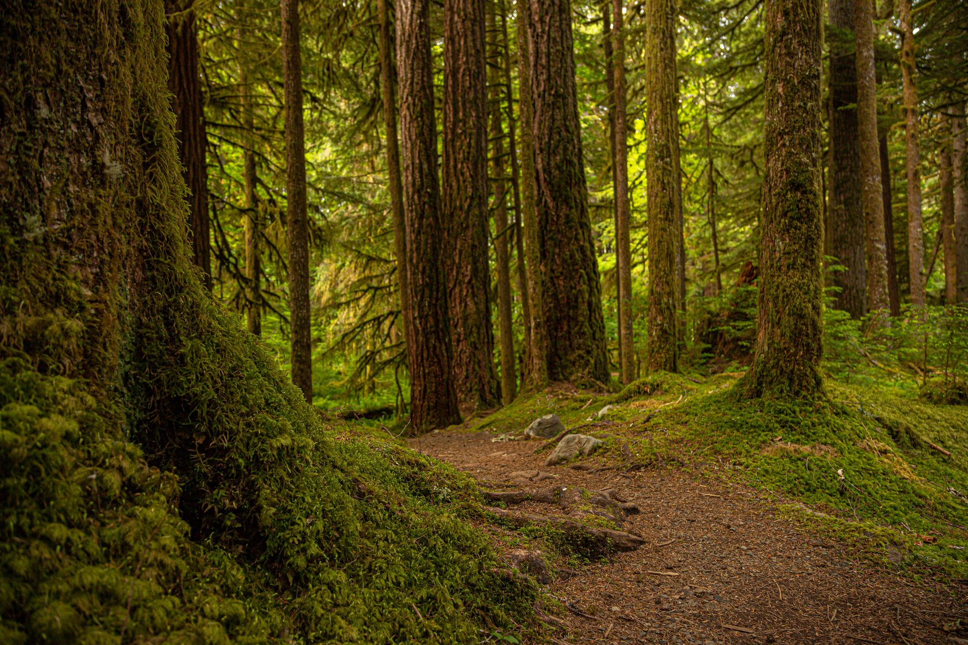
Newhalem sits at the western edge of the park complex, about 12 miles east of Marblemount. The North Cascades Visitor Center here is the main NPS contact point for the highway corridor and stocks free paper maps, junior ranger packets, and current conditions. Several short, accessible trails start from the visitor center, including the paved Trail of the Cedars (half a mile through old-growth western red cedar).
East Side: Washington Pass and the Methow Valley
East of Diablo Lake, SR-20 begins climbing toward the high passes. Washington Pass Overlook at mile 162 is the trip’s visual payoff: a half-mile paved loop gives you a direct view of Liberty Bell Mountain and the Early Winters Spires, two sheer granite walls that rise more than 2,000 feet above the road. The overlook parking fills on summer weekends by mid-morning.
From Washington Pass, the road drops sharply into the Methow Valley. The transition is fast. Within ten miles you move from dense subalpine fir to the more open, drier terrain of eastern Washington. Mazama is the first community east of the pass, with a small general store and gas. Winthrop, 14 miles further, is the largest town on the east side and has lodging, restaurants, and full services.
For visitors approaching from Spokane or central Washington, Winthrop is the logical base for an east-side trip. From Winthrop, Washington Pass is about an hour’s drive; Diablo Lake takes another 30 minutes beyond that.
The Skagit Lake System: Gorge, Diablo, and Ross
Three reservoirs sit in sequence along the Skagit River through the park corridor. Each is fed by Seattle City Light’s hydroelectric dams, which have operated here since the 1920s. On a map they look like stepping stones, each a different shade of blue-green.
Gorge Lake is the smallest and sits nearest to Newhalem. It’s accessible from the highway but sees less visitor traffic than the other two.
Diablo Lake is the standout for most visitors. The water carries suspended glacial sediment from the upstream snowfields, which scatters light to produce a turquoise color that reads as almost artificial on sunny days. The Diablo Lake Overlook off Highway 20 provides the best road-accessible view. Colonial Creek Campground sits on the lake’s south shore and is the main campground for the park corridor.
Ross Lake stretches 24 miles north from Diablo Dam to the Canadian border. The only road access is by boat or by hiking over a steep trail from the Highway 20 corridor. Ross Lake Resort operates water taxis and boat rentals. Its floating cabins and tent platforms are the only lodging inside the park itself, and they book out months in advance.
For full details on camping at all three lakes and the backcountry permit process, see the camping in North Cascades National Park guide.
Stehekin: The Part That Doesn’t Connect
Stehekin appears on the North Cascades map as a small dot at the head of Lake Chelan, south of the main park boundary. It is part of the Lake Chelan National Recreation Area, but no road from Highway 20 reaches it. The only ways in are the Lake Chelan Boat Company ferry from the town of Chelan (a 55-mile lake crossing), a private floatplane, or a multi-day backpacking route over Cascade Pass.
For planning purposes, treat Stehekin as a separate trip that requires a boat schedule, not a day-trip add-on to a Highway 20 drive. The ferry leaves from Chelan, roughly 130 miles southeast of Marblemount by road. See the Lake Chelan Boat Company for current schedules and rates.
Where to Get Official Maps
The NPS distributes a free paper map of the full park complex at each visitor center. It covers the three-unit structure, the Highway 20 corridor, major trailheads, campgrounds, and the Stehekin area. You can also download a PDF version from the NPS North Cascades maps page.
For backcountry trips, the free NPS map isn’t detailed enough. Pick up a Green Trails map at the Marblemount Wilderness Information Center or order one before you arrive. The two most useful sheets are Cascade Pass (No. 80) and Jack Mountain (No. 17). These show the trail networks, elevation contours, and designated campsites in detail that the overview map omits.
For navigation on a phone, CalTopo and Gaia GPS both carry the relevant USGS topo layers for the park. Download the tiles before you leave cell service, which ends somewhere east of Concrete on the way in.
Getting There, When to Go, and Where to Stay
From Seattle, the western entrance via Marblemount takes about three hours: I-5 north to Burlington, then SR-20 east. There is no public transit to the park.
The east side (Winthrop, Washington Pass) is accessible from Spokane in about two and a half hours via US-2 west to SR-20 west.
July through September is the most reliable season for high-country access. The Cascade Pass Trail is typically snow-free from mid-July. Washington Pass stays open through October in most years. For a full breakdown of conditions across all seasons, see the best time to visit Washington State guide.
Western gateway lodging concentrates in Marblemount and Concrete, with limited options closer to the park. On the east side, Winthrop has the widest selection, from western-themed motels to vacation rentals in the surrounding valley. Inside the park complex, Newhalem Creek Campground and Colonial Creek Campground are the primary frontcountry options.
For the full picture of what to do once you’ve oriented yourself to the map, start with the things to do in North Cascades National Park guide. And for a look at all three of Washington’s national parks in one place, the parks overview has planning resources for Rainier and Olympic alongside the North Cascades.