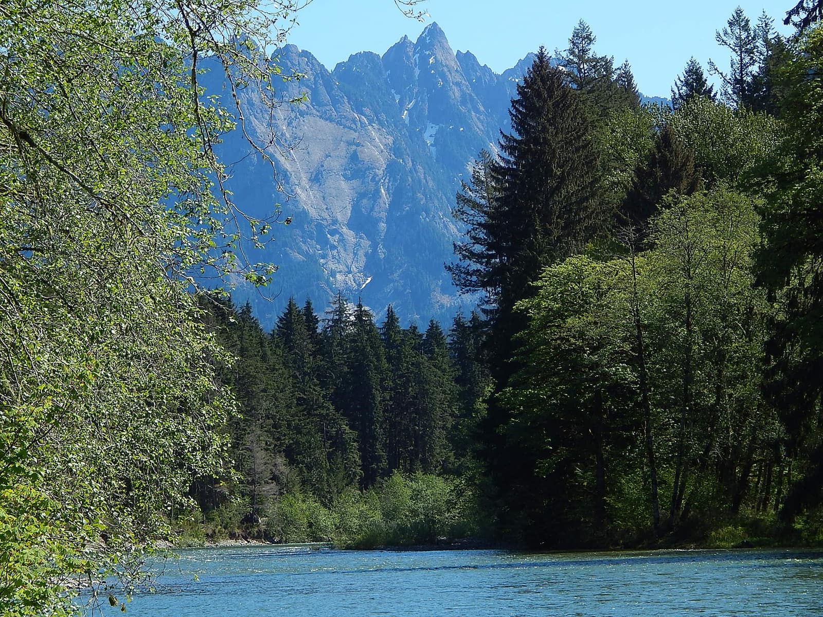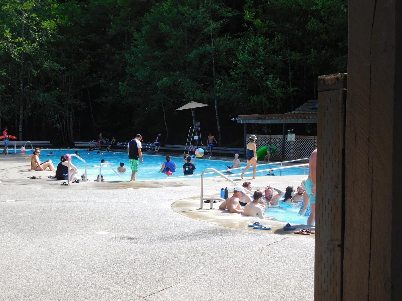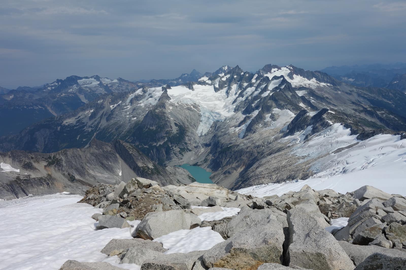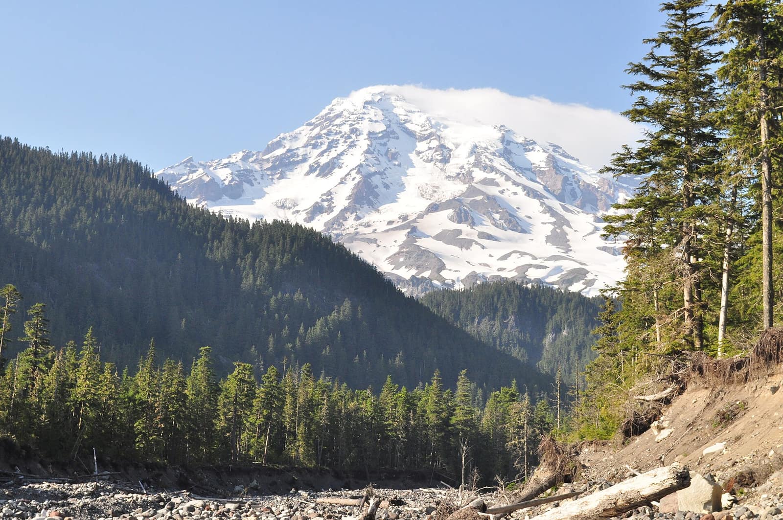
The road into Cougar Rock Campground drops through a corridor of old-growth Douglas fir, the canopy closing overhead until you lose the sky entirely. Then you pull into your site, and through a gap in the trees, the mountain appears: 14,411 feet of glaciated volcano filling the frame. Mount Rainier camping operates at a different scale than most of the Pacific Northwest. The campgrounds here sit inside genuine wilderness, ringed by old-growth timber and wildflower meadows, with trails to glaciers and ridgelines departing from sites that cost $35 a night. Five campgrounds serve the park. They range from a 188-site facility with flush toilets and a camp store to a walk-in primitive spot where you carry in your own water. This guide covers each one, the reservation logistics, and what to expect on the ground.
Mount Rainier Camping: Five Options at a Glance
Two large developed campgrounds (Cougar Rock and Ohanapecosh), one mid-size campground with excellent backcountry access (White River), and two primitive options in the park’s remote northwest corner (Mowich Lake and Ipsut Creek).
Each campground occupies a different corner of the park, which matters because Rainier is large: the drive from Ohanapecosh in the southeast to Mowich Lake in the northwest takes about two and a half hours. Picking the right campground depends on which trails and features you want closest to your tent.
| Campground | Sites | Location | Elevation | Reservations |
|---|---|---|---|---|
| Cougar Rock | 173 | Southwest, near Paradise | 3,180 ft | Required (recreation.gov) |
| Ohanapecosh | 188 | Southeast, near Grove of the Patriarchs | 1,914 ft | Required (recreation.gov) |
| White River | 112 | Northeast, near Sunrise | 4,400 ft | Required (recreation.gov) |
| Mowich Lake | 30 | Northwest, walk-in | 4,929 ft | None (first-come) |
| Ipsut Creek | ~20 | Northwest, Carbon River | 1,100 ft | None (first-come) |
Cougar Rock Campground
Cougar Rock is the park’s most accessible and most popular campground, sitting five miles north of the Nisqually entrance on Paradise Road. At 3,180 feet, it opens in late May and stays open through mid-October, offering the longest season of the developed sites.
The campground has 173 sites across several loops, including sites that accommodate RVs up to 35 feet. Flush toilets, a dump station, and pay showers (bring quarters) are available on site. A camp store operates during peak season. Ranger-led evening programs run on summer weekends at the campground amphitheater.
From Cougar Rock, the drive to Paradise takes about 20 minutes. That puts you within reach of the Skyline Trail, which loops above the wildflower meadows at Paradise for a 5.5-mile circuit with panoramic views of the south face of Rainier. Earlier in the summer, when the Skyline Trail still has snow, the Nisqually Vista Trail is an easier alternative at under two miles round trip with views toward the Nisqually Glacier.
Reservations open on recreation.gov 30 days in advance for individual sites, with some availability released further ahead for group sites. Sites sell out fast for weekends from mid-July through Labor Day. Book the moment your window opens, or target Monday through Thursday nights when availability is considerably better.
Ohanapecosh Campground
Ohanapecosh occupies the park’s lowest elevation (1,914 feet) in the southeast corner, reached via SR-123 from the southeast entrance. The lower elevation means it opens earlier than the other campgrounds, often by late April, and stays green and mild through October.
The campground has 188 sites along the Ohanapecosh River, a clear glacial stream running through the facility. Sites along the river have a distinct sound track: the water is loud over the rocks, and the surrounding forest is genuine old-growth. Several trees in the area are well over 500 years old.
The Silver Falls Loop Trail departs directly from camp and follows the river for a 3-mile circuit past Silver Falls, a 40-foot cascade where the water funnels through a narrow basalt gorge. It is one of the most rewarding short hikes in the park and requires almost no elevation gain. The Grove of the Patriarchs, a stand of 1,000-year-old Douglas fir, western red cedar, and Sitka spruce, is four miles north on SR-123 and worth the short drive.
Ohanapecosh is the best Rainier campground for families with young children and for visitors who want to avoid high-elevation cold. It is also the closest developed campground to the Stevens Canyon Road corridor, which carries some of the park’s best scenery with far less foot traffic than the Paradise area.
White River Campground
White River sits at 4,400 feet on the northeast side of the mountain, 14 miles from the Sunrise Visitor Center on White River Road. At this elevation, the campground typically does not open until mid-June and closes by late September. Snow can fall any month at White River, and temperatures drop sharply after sunset even in August.
The 112-site campground provides the best access to the Sunrise area, which many visitors consider Rainier’s most scenic corridor. The Glacier Basin Trail begins near the campground and climbs five miles through a rocky glacial cirque to a basin below the Inter Glacier, offering close views of the mountain’s east face and the remnants of historic mining operations from the early 1900s.
White River is also the starting point for a segment of the Wonderland Trail, which circumnavigates the entire mountain over 93 miles. The stretch running north from White River toward Sunrise and west toward the Carbon River corridor is among the trail’s most rewarding. Day hikers can walk out from camp on this route as far as they like and turn around without commitment to the full circuit.
Book White River sites on recreation.gov. The 4,400-foot elevation makes for genuine mountain camping: cold nights, bright stars, and a quiet that is hard to find at the more developed campgrounds.
Mowich Lake and Ipsut Creek: The Primitive Options
The northwest corner of Mount Rainier National Park feels like a different park. The Carbon River entrance receives some of the highest rainfall in any non-rainforest zone in the lower 48 states, and the temperate rainforest that results looks far more like the Hoh Rain Forest than the subalpine landscapes at Paradise or Sunrise.
Mowich Lake is the park’s highest campground at 4,929 feet. Thirty walk-in sites sit near the lakeshore in old-growth fir, with the lake itself reflecting the mountain on clear mornings. There is no potable water at Mowich Lake: bring your own or carry a filter and treat water from the lake. No reservations are accepted, so arrive early on summer weekends (by 9 or 10am) to secure a site.
From Mowich Lake, the Spray Park Trail climbs 1,400 feet through meadows filled with summer wildflowers to views of the north face of the mountain. The first half-mile descends to Spray Falls, a 354-foot tiered waterfall that is among the most dramatic in the park. For more on finding Washington’s lesser-known cascades, the guide to hidden waterfalls includes Spray Falls as one of its five picks.
Ipsut Creek occupies the Carbon River valley floor at just 1,100 feet. The forest here is old-growth temperate rainforest: enormous western red cedars draped in moss, nurse logs sprouting entire generations of ferns, and a canopy that filters the light into something green and diffuse. Ipsut Creek is walk-in only after flood damage closed the Carbon River Road to vehicles; the walk from the Carbon River entrance is about five miles each way on the flat road corridor. Around 20 sites are available on a first-come, first-served basis.
If you are making a multi-park trip through Washington’s national parks, the guide to camping in Olympic National Park covers the full range of options at Washington’s other major park and uses the same campground-by-campground format.
Reservations, Timed Entry, and Fees
Mount Rainier requires an entry fee: $35 per vehicle for a 7-day pass, or the America the Beautiful Annual Pass ($80). The annual pass pays for itself after two visits to fee-collecting national parks and is worth buying if you are doing a Washington State road trip that includes Olympic or North Cascades.
During peak season (late May through Labor Day), timed entry permits are required for both the Paradise and Sunrise corridors. The Paradise timed entry permit covers the Nisqually entrance and Paradise Road, which means Cougar Rock Campground sits within the permit zone. A campsite reservation at Cougar Rock does not substitute for the timed entry permit: you need both. Timed entry permits are available on recreation.gov, released at 7am Pacific time 30 days ahead of the visit date.
For campsite reservations, recreation.gov is the only official booking platform. Be cautious of third-party sites that claim to offer Rainier campsite reservations: they have no legitimate access to park inventory and typically charge extra fees for nothing.
What to Pack and When to Go
Peak camping season runs from mid-July through early September. Wildflowers at Paradise peak between late July and mid-August, the park’s busiest and most popular window. Before mid-July, Paradise Road may still have significant snowpack and some trails remain buried under several feet of snow. After Labor Day, crowds thin considerably, temperatures drop, and the mountain is often clear when summer smoke and marine layer keep it socked in.
Nights are cold at every campground in the park, including low-elevation Ohanapecosh. Bring a sleeping bag rated to at least 30°F even for August trips. Afternoon thunderstorms are common from mid-July onward, particularly on the east and northeast sides of the mountain. A rain layer is not optional.
Black bears are present throughout the park. Store food in the provided bear boxes at the developed campgrounds, and use hard-sided canisters at Mowich Lake and Ipsut Creek where box availability may be limited.
For a full breakdown of what to expect in each month, the best-time-to-visit guide for Washington State covers conditions from January through December across the whole state.
Getting There and Where to Stay Outside the Park
The main western entrance (Nisqually) is about 90 miles from Seattle via I-5 South to SR-512 and then SR-7 through Eatonville. The drive takes roughly two hours without stops. The southeast entrance (SR-123 near Packwood on US-12) adds about 20 miles to the drive from Seattle but puts you directly at Ohanapecosh.
If the campgrounds are full, Ashford, directly outside the Nisqually entrance, has several lodges and cabin rentals ranging from budget to mid-range. The town of Packwood, south of the park on US-12, offers motel options and is convenient for the Ohanapecosh and Stevens Canyon entrances.
Once you have your campsite sorted, the Mount Rainier day hikes guide covers eight trails across every skill level, with permit logistics and parking tips for Paradise and Sunrise. And for the full picture of what the park contains, the Mount Rainier National Park listing page is the starting point.
For official trail conditions, road status, and the most current permit information, check nps.gov/mora before you drive in: road openings at this elevation are weather-dependent and can shift even in early summer.
Hero photo: Mount Rainier from Nisqually River near Cougar Rock campground 01 by Joe Mabel., licensed CC BY-SA 3.0, via Wikimedia Commons. Resized.